Every few months I set an old map beside a fresh one and flick my eyes between them. Roads curve the same ways. Rivers hold their shape. But sometimes a name is simply gone: a village, a street grid, a dot that had a church and a mill. The new map offers water, lawn, or empty contour lines instead. No warning accompanies the deletion. The map renders the world as if nothing had ever stood there.
A valley that became a lake
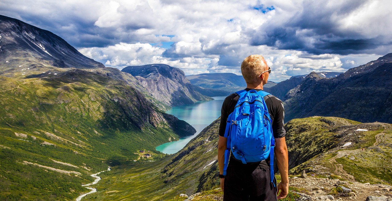
At 52.93° N, 3.62° W in north Wales, about 8 kilometers northwest of Bala, the Tryweryn valley once held the community of Capel Celyn: a chapel, a school, a post office, 12 farms, and 67 residents in one of the last Welsh-speaking corners of the region. Liverpool needed water. On 31 July 1957 Parliament passed the Liverpool Corporation Act by a majority of 96, over the opposition of 35 of Wales’s 36 MPs and 125 local authorities. The valley’s fate was sealed in London.
The drowning came in 1965. The reservoir, Llyn Celyn, swallowed some 800 acres and took the homes of 48 of the valley’s 67 people. When Liverpool officials held the opening ceremony that October, demonstrators drowned out the speeches with the Welsh national anthem. Supporters painted “Cofiwch Dryweryn”, remember Tryweryn, on a wall in Ceredigion, and the phrase has outlived everything it was mourning. Liverpool’s city council formally apologized in 2005. In drought years the water drops and the old chapel foundations surface again, briefly, like a correction.
A town above a fire
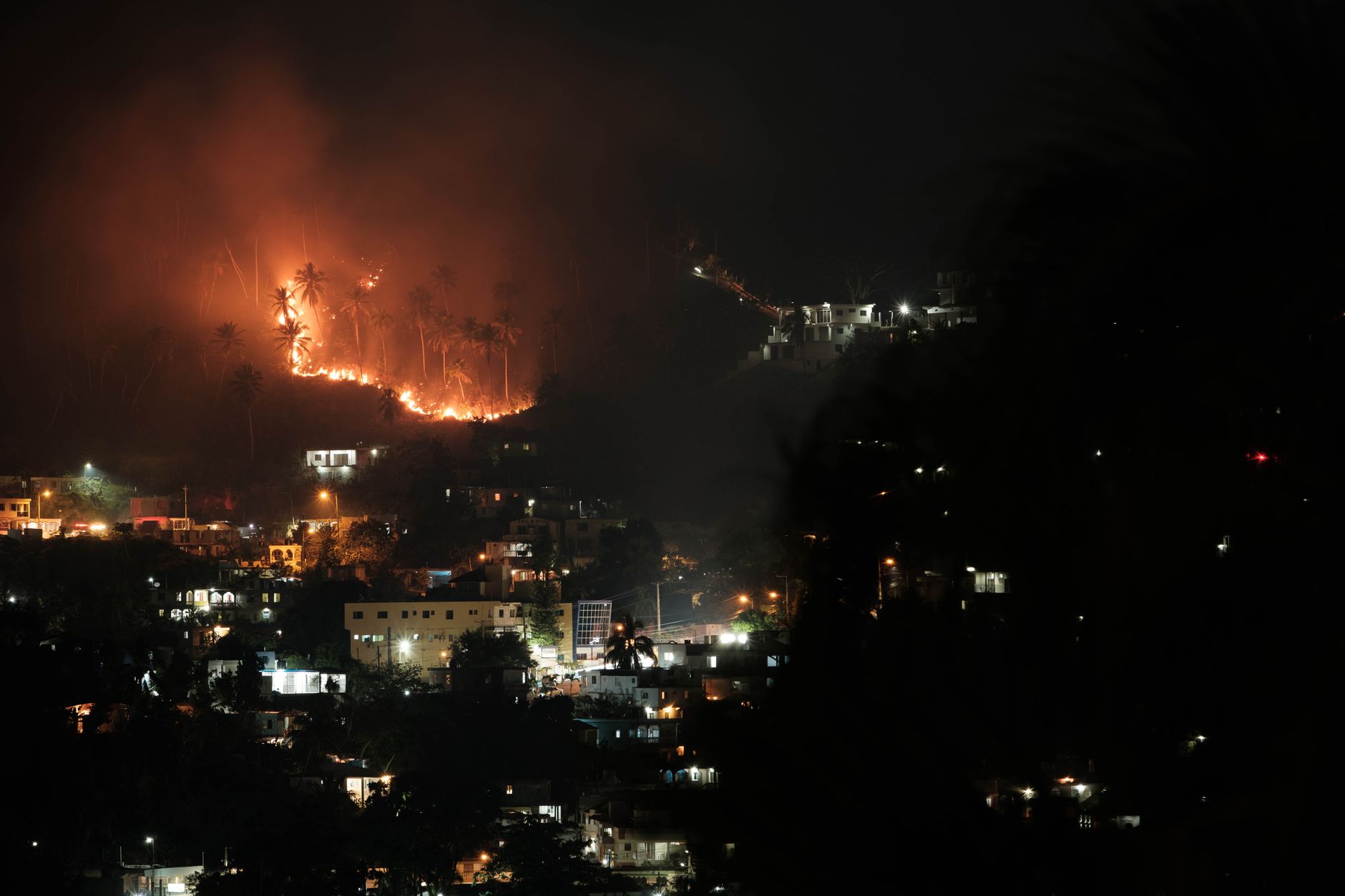
Centralia, Pennsylvania sits at roughly 40.80° N, 76.34° W, and on 27 May 1962 fire crews burned trash in an old strip-mine pit near the Odd Fellows Cemetery. The fire slipped into the coal seams beneath the town and never left. Agencies spent $7 million trying to kill it between 1962 and 1982, and in 1983 Congress put up $42 million to move residents out. About 4,000 feet of Route 61 buckled over the burning ground and closed in 1993.
The leaving happened in slow motion: 1,017 residents at the 1980 census, 63 by 1990, five at the 2020 count. The Postal Service retired the ZIP code in 2002. A 2023 Smithsonian Magazine account of the fire reports it may burn another 250 years. Maps still draw Centralia as a named borough, but the name now labels memory, warm ground, and a handful of houses that refused to leave.
A village under a park
Manhattan, 40.78° N, 73.97° W: the lawns between West 82nd and West 89th Streets in Central Park. From 1825 this ground was Seneca Village, founded when free Black New Yorkers began buying lots carved out of a 17-acre parcel. By 1855 it held about 225 residents, roughly two-thirds Black and one-third Irish, along with 50 houses, three churches, and a school. Property ownership mattered enormously here. New York law gave Black men the vote at $250 in property, and this was one of the few places in the city where they could hold it.
Then the city wanted a park. The state authorized the purchase in 1853, the courts confirmed the taking in 1856, and by October 1857 the last holdouts were gone. Across the future park’s footprint, roughly 1,600 people lost their homes. Only All Angels’ Church survived, moved two blocks away with almost none of its congregation. For more than a century the map showed lawn. A 2011 excavation found stone foundations and thousands of artifacts under the grass.
What the map does with absence
Here is the part that stays with me. Maps absorb these events with a shrug. A drowned valley turns blue, a buried highway fades into green space, a razed village becomes an unmarked lawn styled as scenery. Absence gets rendered as calm.
So when I compare old maps to new ones, I’ve stopped trusting the flatness of what I see. Every blank shape once held a schedule, a school run, an argument at a fence line. The places are gone from the map, which is exactly why I keep looking for them there.